Deciding if areas are waterbird hotspots or ripe for new condos isn’t as cut and dried as you might think, a new study shows.
Imagine your favorite beach filled with thousands of ducks and gulls. Now envision coming back a week later and finding workers constructing townhouses on that spot. This many ducks in one place surely should indicate it’s exceptionally good for birds and deserves protection from development, right?
It depends.
In a new paper in Methods in Ecology and Evolution, scientists show that conservation and construction decisions should rely on multiple approaches to determine waterbird “hotspots,” not just on one analysis method researchers often do.
“Waterbirds can move far in a short time, and they also are known to aggregate in clusters of hundreds or even thousands,” says coauthor Elise Zipkin, an integrative biologist at Michigan State University.
“Just because there are many birds in a particular location at a particular time, doesn’t necessarily mean the location is a hotspot. It is important to distinguish whether that location is used repeatedly by the birds or if it is just a one-off use.”
How many, how often
Knowing how many species and individuals use a designated area, and how often, can help determine whether building a housing development, creating a wind farm, or establishing a marine sanctuary is the best choice. Yet, the most popular methods to determine animal hotspots can produce vastly different conclusions, the study shows.
“Our research didn’t find one method was better than the others, but we did learn that certain methods might be better in some situations than in others, and in fact, the best approach may be to use a combination of methods,” Zipkin says. “The more data-driven ways to make a decision, the better.”
Conservation and management decisions are often long-lasting and experts should make them carefully with full understanding of the data and methods used, says lead author Allison Sussman, a former graduate student at Michigan State.
Finding waterbird hotspots
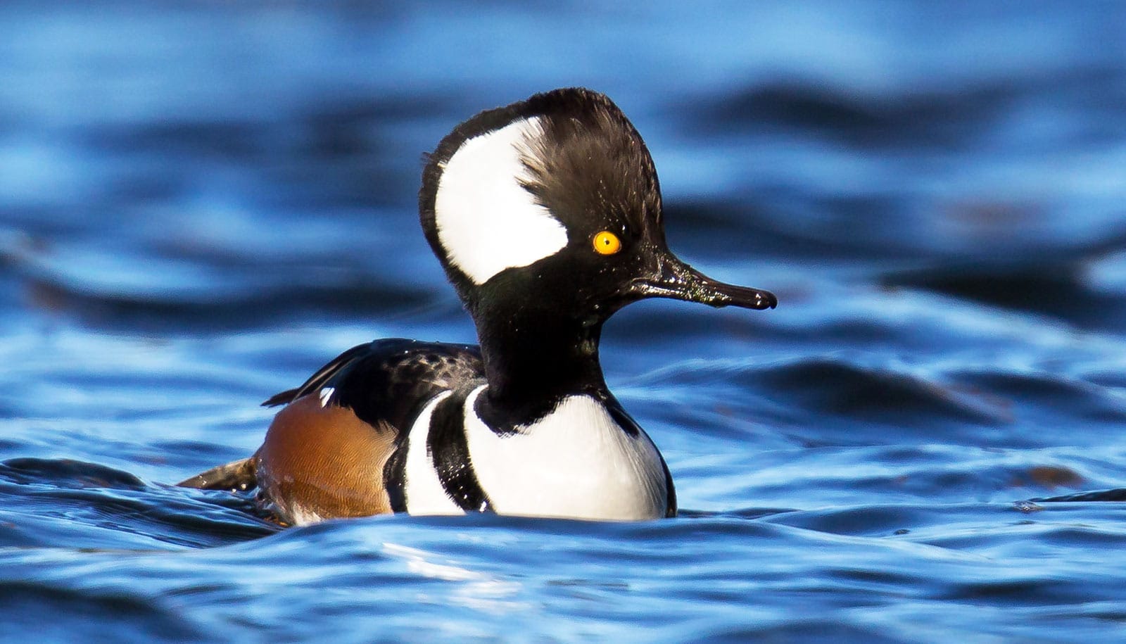
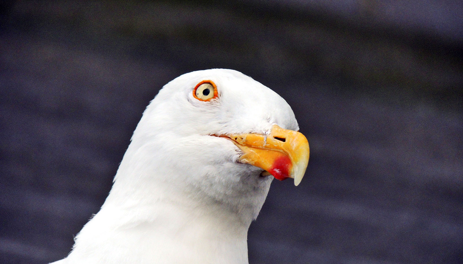
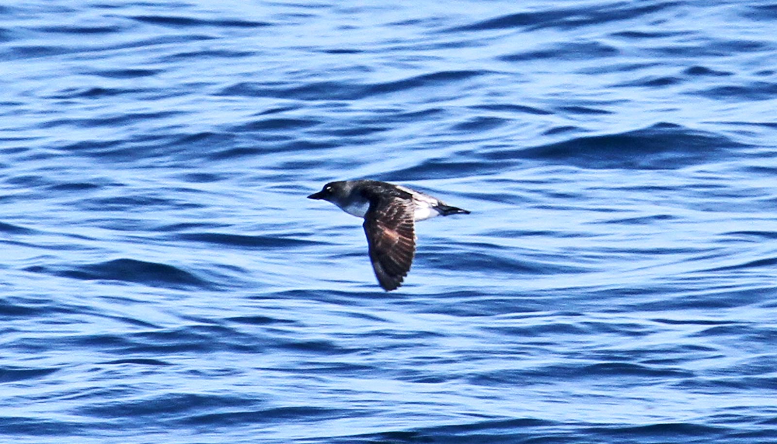
The team studied a wide range of Great Lakes waterbirds including loons, ducks, mergansers, gulls, and scaup. Researchers evaluated the bird data using four different hotspot analysis methods. Not one produced the same results, though a couple methods were similar.
“If we want to preserve our beaches, shorelines, and rivers we need to know which areas are actually hotspots that need conserving.”
“The Great Lakes are home to hundreds of bird species and are a phenomenal resource not only ecologically, but recreationally and commercially as well,” says Sussman, currently a database and GIS specialist at the US Geological Survey.
“If we want to preserve our beaches, shorelines, and rivers we need to know which areas are actually hotspots that need conserving. Using the right combination of methods is important to achieve the right outcomes.”
While the team studied Great Lakes waterbirds, their goal was to determine which hotspot methods most appropriately inform conservation management decisions generally.
“The Great Lakes, the Galapagos, or the Amazon—it doesn’t matter where on Earth you are— conservation is a timely and important topic,” Sussman says. “Hopefully our findings can be used to make better management decisions in protecting the planet.”
Additional coauthors are from the University of Washington, the Great Lakes Commission, the US Geological Survey, the Michigan Department of Natural Resources, the Michigan Natural Features Inventory, the Biodiversity Research Institute, and the Western Great Lakes Bird and Bat Observatory.
The US Fish and Wildlife Service Great Lakes Fish and Wildlife Restoration Act grants program funded the work.
Source: Michigan State University


