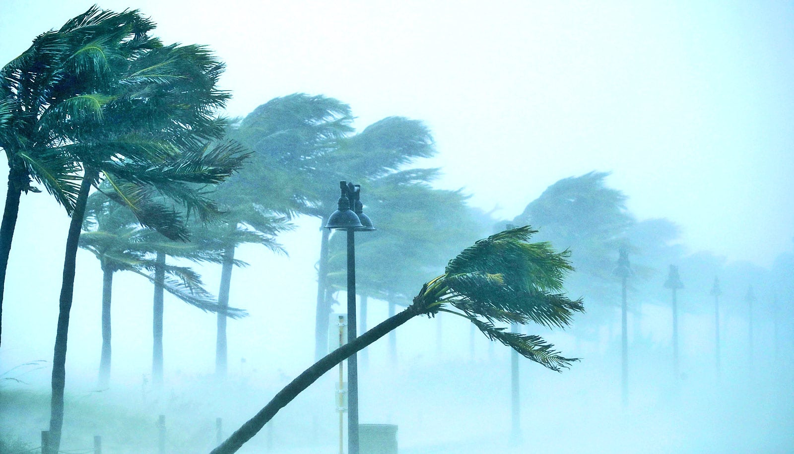
The United States just suffered the most intense hurricane season in more than a decade, and possibly the costliest ever. Hurricane Harvey hit Houston in mid-August. Hurricane Irma struck Florida in early September, and just two weeks later, Hurricane Maria devastated Puerto Rico and the Caribbean.
Shuyi Chen, a professor in the atmospheric sciences department at the University of Washington, talks about why the 2017 season was so devastating, the future of forecasting, and why hurricanes have a beef with land.
Now that the 2017 season is finally over, what can we say about it?
In some ways it wasn’t so unusual in terms of total number of named storms. It had 17 named storms with six major hurricanes. Four hurricanes made landfall in the US this year, the most since 2005, including three major hurricanes: Harvey, Irma, and Maria. Harvey was the wettest storm on record in the US, dumping more than 5 feet of rain in Houston. Maria has devastated the entire island of Puerto Rico.
There were a lot of storms in 2016, too, but we didn’t get a lot of the impact because most of them were just over open ocean, and nobody even hears about them.
The record year for hurricanes was 2005. In 2005, there were 28 named storms and people in the field were saying “we ran out of letters” because we usually only use 23 letters (A-W) for storm names, and then we have to go to other naming systems. That was a really, really busy season.
Let’s just get this one out of the way: What’s the difference between a “hurricane” and a “typhoon”?
In North America and Europe, the term is “hurricane,” and in Asia the term is “typhoon.” Scientifically we call these systems “tropical cyclones.” They are all referring to the same thing.
Has there been any change in the frequency of hurricanes?
Globally, the numbers have been relatively steady since the 1970s, when satellite observations began. Only 4 to 5 percent of tropical convective storms actually develop into tropical cyclones. So a tropical cyclone is actually a fairly rare event.
Why do hurricanes always seem to form in the same places?
Tropical cyclones don’t form near the polar regions because the water is too cold. Near the equator the ocean is warm, but they don’t form on the equator because there’s not enough rotational force. They usually form in the tropics, away from the equator, where the ocean is warm with enough force from the Earth’s rotation.
At your former institution, the University of Miami, you and members of your group have flown through hurricanes. What’s inside these storms?
What does the inside of a hurricane look like? Hurricanes have a very photogenic shape that we can observe from space. They usually have inward spiraling bands of clouds and rain with an “eye” in the center. The air flowing into a hurricane goes up in a ring of deep convective clouds near the storm center, which is called the eyewall. Some air is forced to descend in the center, which creates the eye.
To better understand and predict hurricane intensity, we fly into hurricanes on research aircraft to collect data. The temperature, pressure, and wind measurements in hurricanes can help us develop better computer models for hurricane forecasting.
Observing a hurricane inside the eye is one of the most amazing experiences I’ve had. My students and I were onboard the NASA DC-8 aircraft flown into Tropical Storm Cindy in June 2017 right before it made landfall near New Orleans.
If you follow a storm in time, the storm actually evolves. A very intense storm often forms multiple eyewalls; we call it “concentric eyewalls.” And eventually the inner one is deprived of energy and dies, and the second one will replace it, and that’s why they go through many lifecycles without dying. I was also on a research aircraft flown inside of Hurricane Rita in 2005 when Rita went through an eyewall replacement cycle.
While the air is subsiding from very high elevation, it is warming up. That warming in the eye creates a low-pressure center near the surface. The pressure outside of the hurricane is higher, so you have a pressure difference that drives the strong winds in hurricanes. These processes help explain how a hurricane can intensify.
The other way they can intensify is that the strong part of the eyewall is actually shrinking with time. Like a figure skater pulling their arms in, when the hurricane eye is shrinking, then it spins faster. That’s when we get very, very strong winds.
Why do hurricanes happen fairly rarely?
With warm water and lots of moisture, we should have lots of tropical cyclones, but we don’t. There are a lot of counterforces that actually make them not able to survive. One example is the wind shear. You can think of winds blowing one direction in the upper atmosphere and the opposite direction in the lower atmosphere, which can pull a hurricane apart. Another factor is dry air. Hurricanes need moist air to support the convective clouds in the eyewall. Dry air moving from outside into the hurricane can quickly weaken the storm.
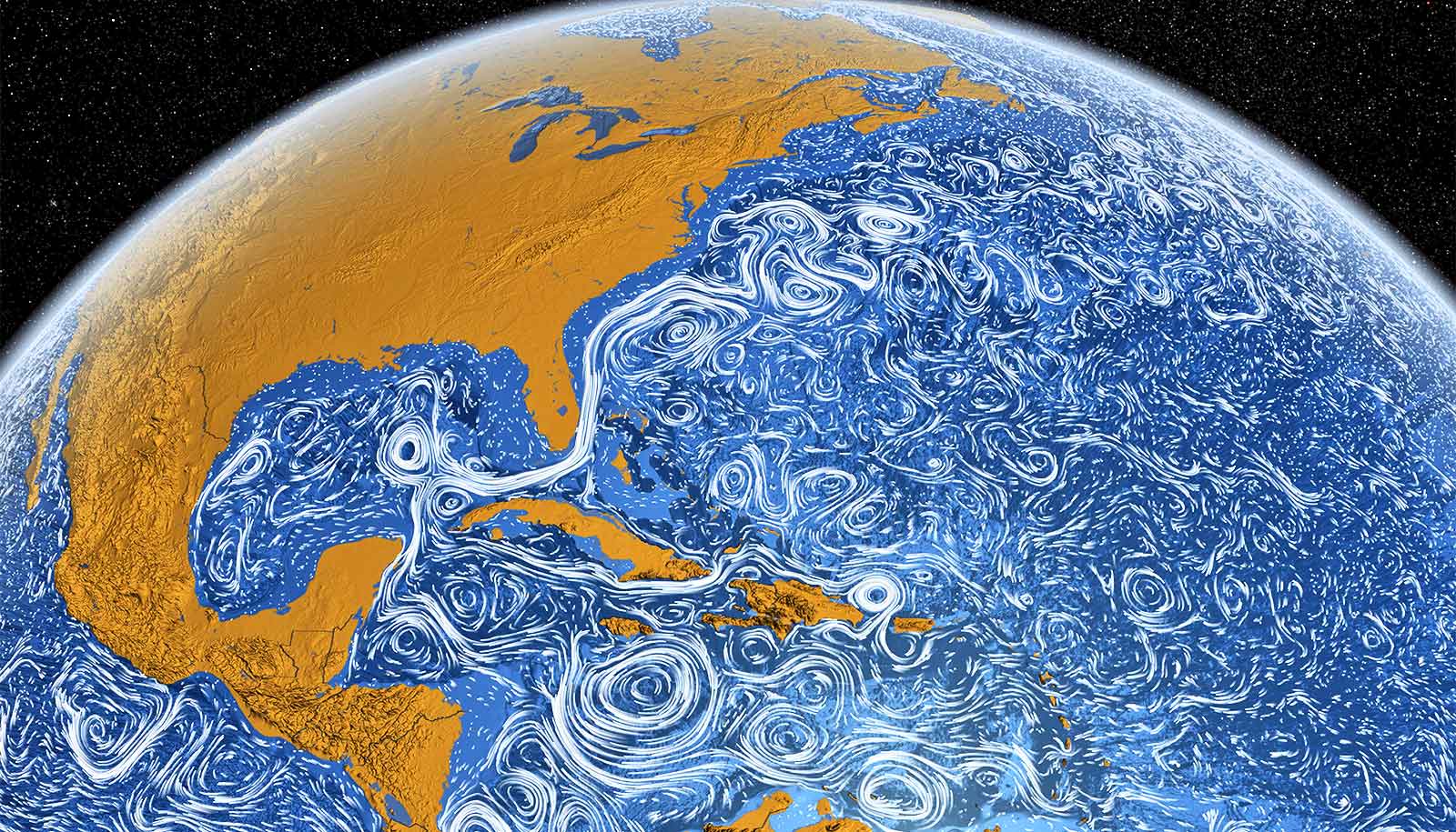
The other piece of a hurricane that’s self-regulating is that hurricanes actually have an impact on the ocean. The winds can stir up cold water from the deeper ocean to the surface. After a storm passes through, the ocean gets so much colder, sometimes 3 to 4 degrees colder. The hurricane would not like this cold water.
Finally, once the hurricane hits land it will begin to die. Hurricanes don’t like land because they lose the energy source from the warm ocean and because the land provides such strong friction that the storm can’t survive.
Your research is on hurricane forecasting. What is the current state of the science?
We have made a significant progress in forecasting hurricane tracks over the last several decades, mostly because of global satellite observations and improvement in computer models. Hurricane intensity forecasts are less accurate, in part because of the complex physical processes inside of a hurricane and its interaction with the ocean. Forecasting hurricane impacts, such as the extreme wind, rain, storm surge and flooding, is by far the most challenging problem today—as we have seen in the 2017 hurricane season.
Have we been able to learn from past storms?
Hurricanes interact with their environment. In the case of Superstorm Sandy in 2012, a low-pressure system with an upper-atmospheric trough over the northeastern US “grabbed” the storm and moved it westward (instead of the usual eastward direction) and made landfall in highly populated New Jersey/New York coastal regions.
With Sandy, water rose on the right side of the storm with onshore winds and large waves pushing water toward the coast, which led to the major storm surge and flooding in New York, whereas on the left side with offshore winds the water was pulling out of the Chesapeake Bay. Manhattan is one of the places that has the most tide gauges because of its industrial shipping history, so we ended up being able to record that event very well and use it to verify the models.
Nature always throws us a curveball. Apparently Irma was different. It moved along the southwest coast of Florida. On the western side of Florida, in Tampa Bay, the water all disappeared ahead of the storm. The forecasters had predicted 10-15 feet of storm surge. But instead they found themselves in a very different situation.
This is the first time many people have seen the bottom of Tampa Bay. We saw a depression of sea surface on the west coast of Florida because the wind was blowing offshore. On the other hand, water was piling up on the Miami side because the wind was blowing onshore. These are very complex things, and this is at the leading edge of research, where we are developing models that combine atmosphere, ocean and waves to improve the forecasts of hurricane impacts.
People are calling Hurricane Harvey the costliest hurricane in US history. What made it so unusual?
Harvey itself was not unique, but where it hit and stalled and the effects it produced were unique. In fact, the rainfall rate, or the volume of rain per hour, was very similar to other heavy rain storms. But if you stop a storm and it keeps raining down buckets in the same location—that was Harvey’s problem. It could not move because of another weather system upstream.
If that rain had been a bit farther south, in the rural areas, we wouldn’t have had the huge damage. But it happened in Houston. The other thing is that the storm sat right on the coast, so the warm water and moist air over the Gulf of Mexico could keep resupplying energy and water into the storm. Also with onshore winds the water piles up onto the coast, so the storm surge in the coastal region prevented water from draining out into the ocean.
What about climate change? How is that going to affect hurricanes?
Right now, in terms of science, it’s not clear how many hurricanes will form in a warmer climate or where they will go. We don’t yet have a long enough data record.
What we do know is if you have warmer water in places like the Gulf of Mexico and the Atlantic basin, then you are going to get bigger hurricane impacts. If Hurricane Harvey happens in a much warmer Gulf, then Harvey is going to produce more rain. Sea level rise will increase storm surges. If you have a hurricane making landfall in Florida with higher seas, then you will get more flooding.
What will your research group focus next?
My research group will focus on developing the next generation of models that combine atmosphere, waves, ocean and land with observations to improve the forecasts of hurricane impacts.
We are also working on understanding and predicting other high-impact tropical weather systems, such as the Madden-Julian Oscillation. That system forms over the tropical Indian Ocean and propagates eastward over the Pacific. It affects weather globally, including tropical cyclones, heatwaves and rainfall over the US, especially the West Coast and Pacific Northwest regions.
Source: University of Washington


