Researchers have implemented 3D visualization technology to identify the potential outcomes of hurricane flooding before it occurs.
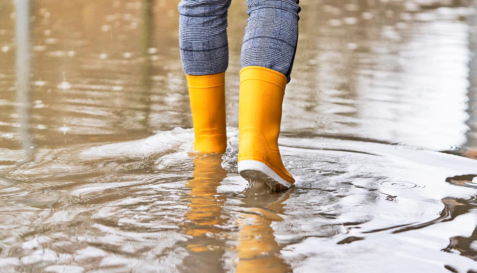
Beginning annually on June 1, hurricane season poses a major threat to Texas coastal communities, causing both physical and financial damage to the areas they hit.
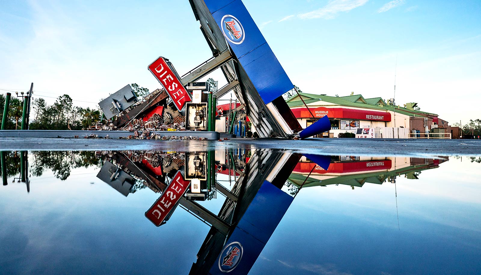
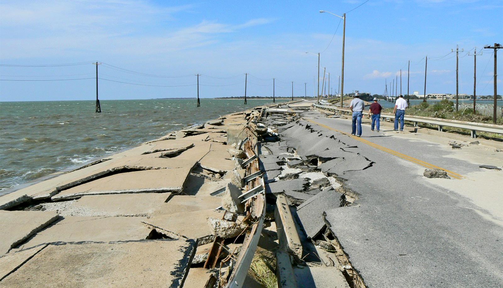
This damage can be staggering; when Hurricane Harvey hit in 2017, it cost Galveston $132.73 billion in damages.
Severe weather has been increasing over the last several years due to global climate change, according to the researchers. If severe storms and flooding continue to increase in the future, implementing 3D visualization based on real-time weather forecasts could result in improved safety and less damage-inflicted costs.
The 3D modeling technique also allows researchers to examine the effects of damage-preventing infrastructure, such as the proposed Galveston “Ike Dike,” a dike designed to shield Galveston Island from future storm surge and flood events.
Using Galveston Island as an example, researchers used 3D visualization to model the damage that would occur to residential buildings as a result of hurricanes of varying intensities. They also modeled damage with preventative infrastructure—the “Ike Dike”—in place.
An advantage of 3D visualization over other damage modeling methods is that it allows researchers to model specific buildings, accounting for basements, back entrances, and windows. By identifying a residential building’s first-floor elevation level, researchers can predict the physical and financial damage that a hurricane will cause to the specific building.
“3D visualization of hurricanes and storm surges allows us to understand how flooding will impact our coastal communities by allowing us to vividly see how each building and road might be impacted by a given flood,” says Xinyue Ye, professor of landscape architecture and urban planning at Texas A&M University.
Since 3D visualization highlights the potential damages hurricane flooding may cause, it can give homeowners a better understanding of what to invest in as far as insurance and preventative infrastructure. This technology also creates an increased community awareness around potential outcomes of hurricanes and flooding.
“Having used Galveston as an example, the next step would be to expand that to other coastal communities in Texas,” Ye notes. “In this study, we mainly used residential houses, but we can expand it to other business properties as well.
Effective use of 3D models can protect Texas residents. By implementing this technology on other coastal communities or community buildings, such as schools and stores, researchers can help residents and officials create a plan for hurricane season.
As real-time weather forecasts are implemented into the models, researchers may be able to determine when evacuation is necessary and use this data to alert residents.
“3D visualization serves as a universal language, bridging diverse disciplines and fostering communication between academia and the general public,” says Ye.
This project shows how the work at the intersection between geospatial data science and visualization can raise awareness for individuals, communities, and government on the consequences of extreme weather and make informed planning decisions for responses, says Nick Duffield, professor in the electrical and computer engineering department and director of the Texas A&M Institute of Data Science.
The study appears in the journal Urban Informatics.
Source: Texas A&M University