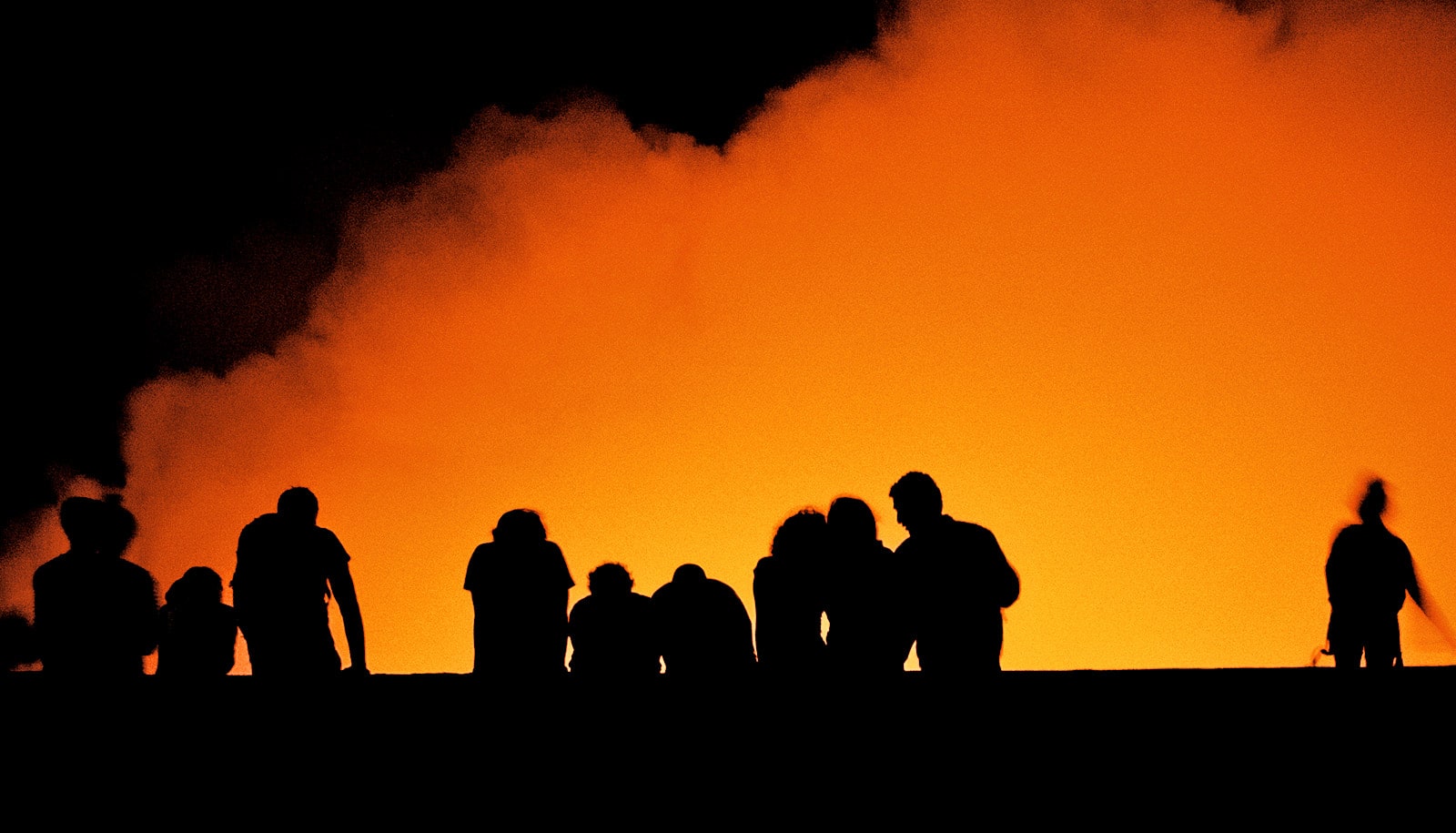
With the help of drones, researchers are investigating an active Nicaraguan volcano that could pose a hazard to millions of people.
Masaya volcano is located in an active volcanic and seismic zone and is nearby Managua, Nicaragua’s capital. The researchers are using many methods, including drones, to study how the volcano and surrounding earth are changing over time.
The drones are able to capture high-quality video footage and travel to places inaccessible to humans.
Peter LaFemina, associate professor of geosciences at Penn State, is working with Christelle Wauthier, assistant professor of geosciences, on the project.
LaFemina is also collaborating on a project to transform photographs and videos taken by the drone into 3D models using a process known as structure-from-motion. This will allow researchers to see how the structure changes in three dimensions over time. It also provides an opportunity to create a virtual volcano experience.
Drone view discovers ancient Silk Road irrigation system
LaFemina is working with Alexander Klippel, professor of geography, on the 3D modeling, which the team hopes will be one day be integrated into online courses.
Source: Penn State


